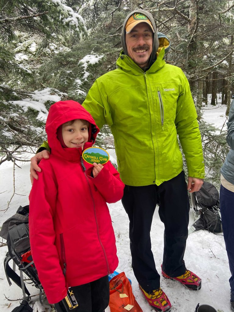
Hiking the SRT and Long Path to Huckleberry Ridge State Forest
We’ve been hiking for almost 14 years together and never really took the time to read maps or download them. Recently, we’ve changed our ways and are trying to be smarter when it comes to hiking. We pack our bags with plenty of water and snacks and make sure to download maps. Not only do we download the maps, we use them to find new trails. One thing we’ve learned recently is the SRT stands for Shawangunk Ridge Trail. We also realized that we hiked most of the SRT trail which intersects with the Long Path. So, our new mission is to hike the SRT and Long Path in sections and see how far we can go. With Maka cbd oil by our side, we will be able to do it.

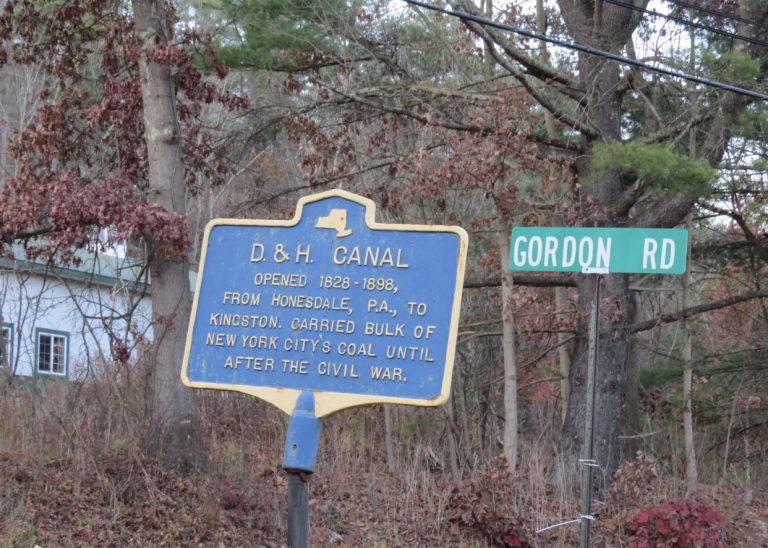
Hiking from Town of Deerpark to Fire Tower
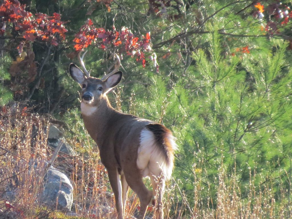
On Thursday we hiked five miles around Bashakill, searching for new trails and looking for owls. We didn’t find any owls but we did end up finding and exploring a new trail. We also found the Brownsville Cemetery. After the short hike, we said the next day we will try the SRT through the Gobbler’s Knob State Forest. That’s exactly what we did the next day; hiked 10 miles through the forest and on the SRT after crossing the street at Route 211.
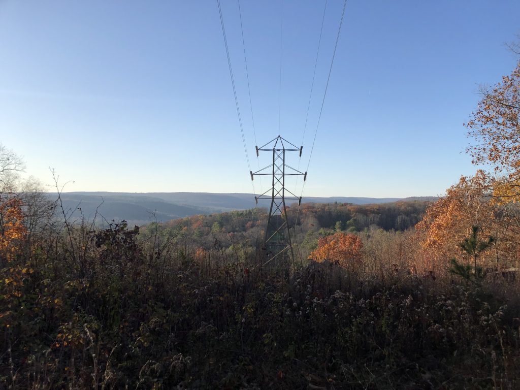
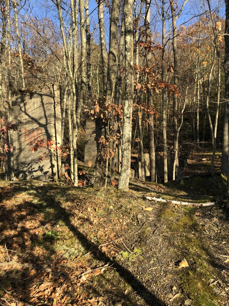
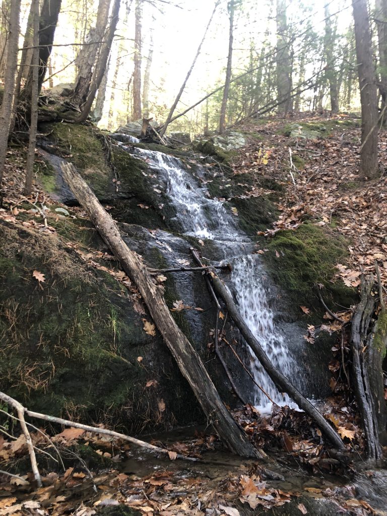
Yesterday, we continued again from the 211 parking lot. We walked through the power line trail that led into the forest. Just a few short miles down on the SRT trail, there is an old mine structure. There are a only a few walls left over of the structure and what used to be. I still recommend that you walk through the short path.
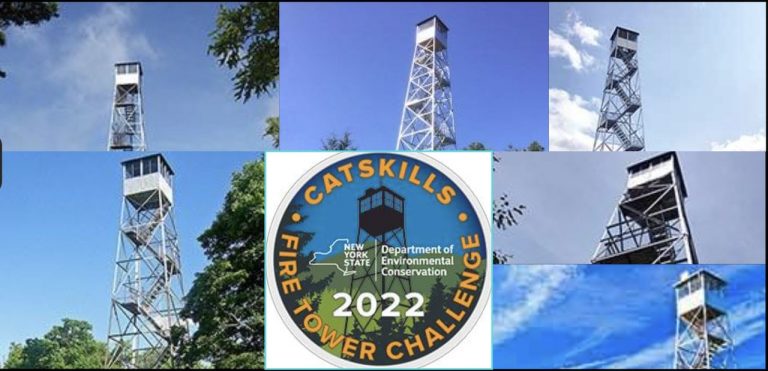
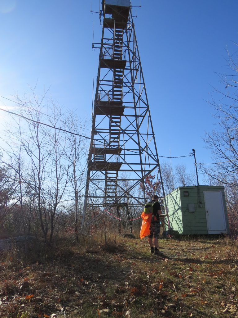
As we walked further down, we looked for the White trail that led to the Graham Fire Tower. We had absolutely no idea what was waiting for us. Rocks. Lots, and lots of rocks. Being surrounded by the rocks was beautiful but also a bit scary. The rocks were covered in moss and leaves. This made it hard to see if you were stepping on a rock or empty space. After the steep rock climb up, you came into another forest which eventually let to the tower. We were extremely disappointed that we were unable to see the views from the watch tower and hope this will change soon.
20 Mile Hike on the SRT
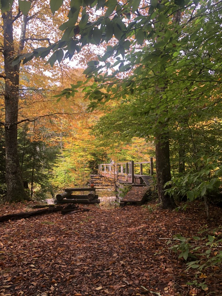
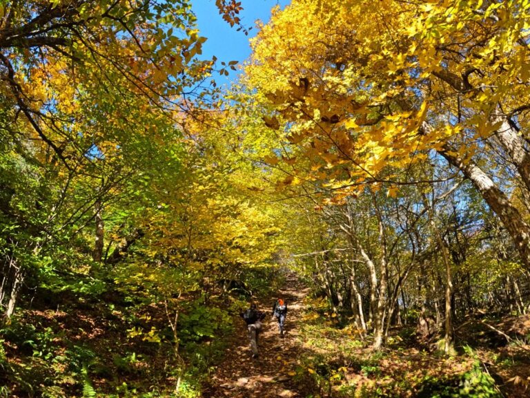
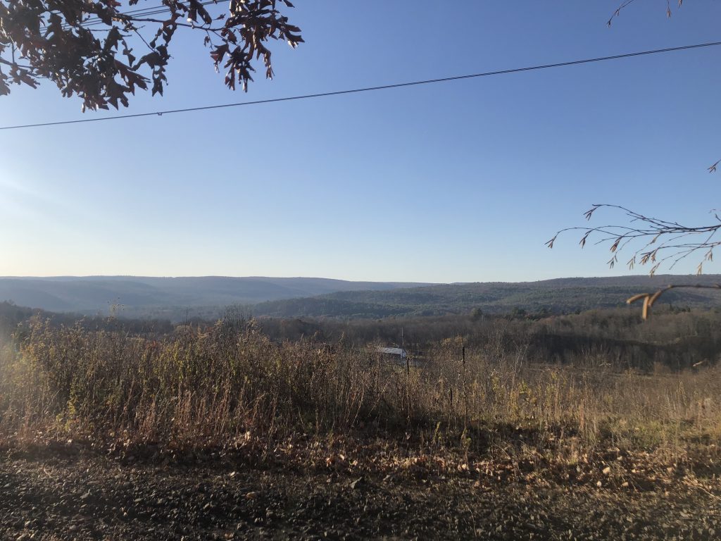
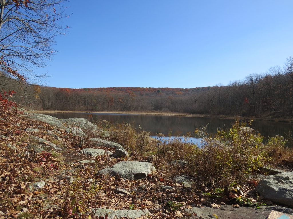
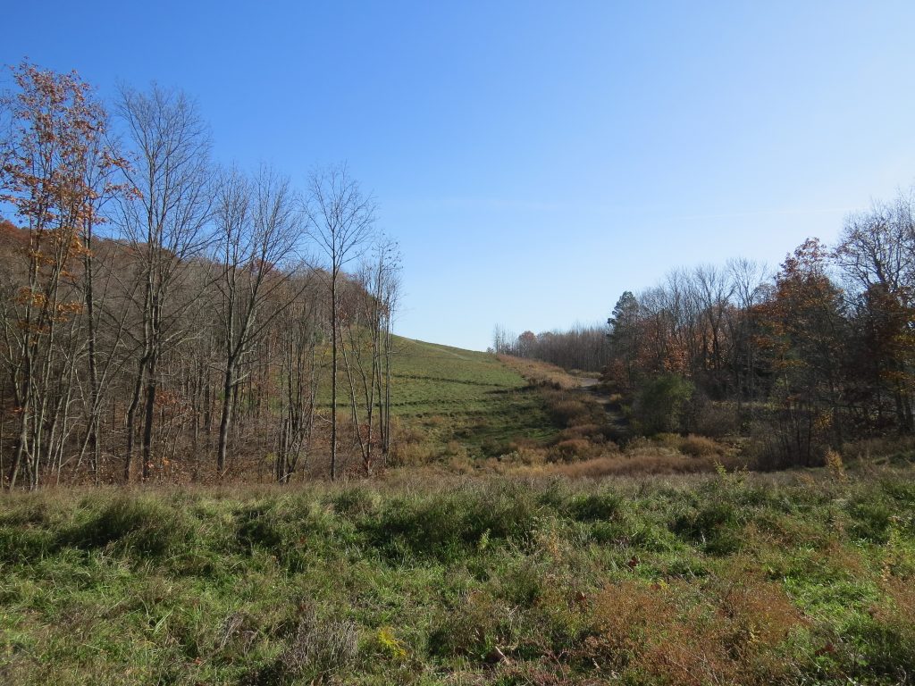
The Shawangunk Ridge Trail is 71 miles long. You can go from Mohonk Preserve to High Point State Park in NJ. Our goal is to do the entire 71 miles, but in sections. Yesterday’s hike was beautiful, taking us through various scenery and different forests. We were on flat land going through the old train trail one minute, and surrounded by a giant forest the next. The forests were so different, from the ground you were hiking on to the trees you were looking at. I was still amazed at the foliage that surrounded us in November. By us, on another mountain, our leaves are all but gone.
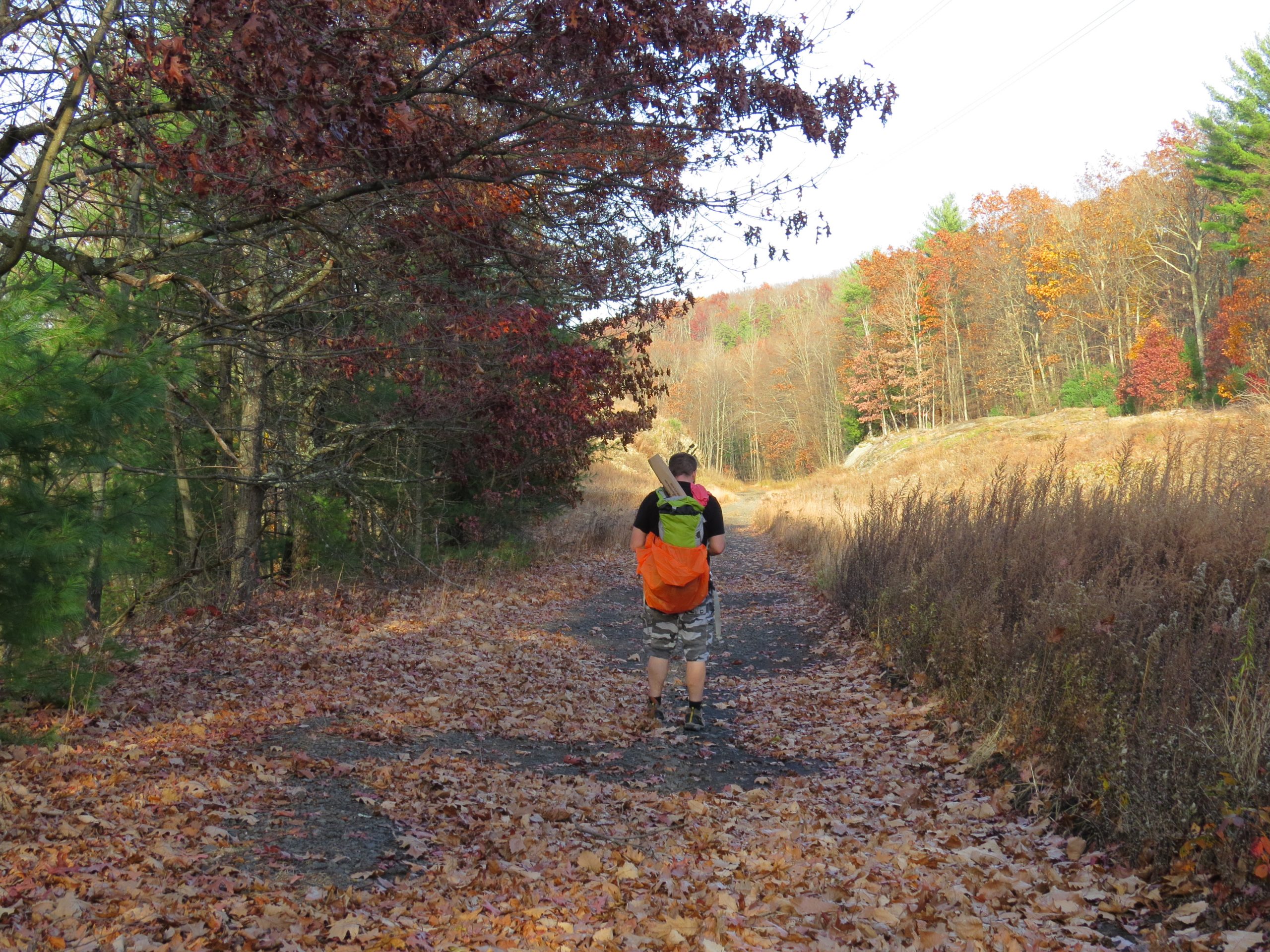
The SRT and Long Path are great trails to conquer. They are easy to follow and clearly marked. The most challenging part was walking on the old train trail where they dumped a lot of rocks. There was really no way to avoid them and you just had to push through. The second hardest part was climbing with one hand. I carried my little water and snack bag while my crazy hubby carried a piece box. Don’t use one hand to climb the rocks, please. Be better and smarter than us! If you want to see the fire tower but not climb any rocks, follow the red trail instead.
While we did over 20 miles hiking SRT and Long Path, we can’t wait to go out there again and continue the trail. I’m excited to explore the rest of the trail and complete the 71 mile journey.
P.S.
We hiked 20 miles with a pizza box so you can hike with your candy wrapper and empty water bottle. LEAVE NO TRACE BEHIND!