Hiking Beacon Fire Tower via Breakneck Ridge
On Thursday, we hiked Beacon Fire Tower via Breakneck Ridge. We hiked to Beacon Tower before but clockwise. This time we did it via Breakneck Ridge, counter-clock wise. According to the map on AllTrails app, we would have to walk a big section on 9D. We decided to not worry about this and would find an alternative way to come back to our cars. The first thing we did was walk down the road, cross the street and start our journey.
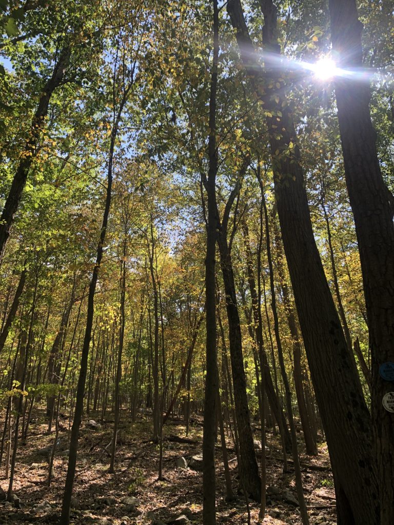
The first mile of hiking is always hard, but when it’s all uphill and rock scrambling, it can be even tougher. I thoroughly enjoyed the scrambling, even the sections were I struggled. It made me want to try rock climbing even more. After the hard part was over, you’re walking through the woods on a narrow path. Once in the woods, you can see more fall foliage. The lack of rain has killed the leaves and the berries. The blueberries hung on the bushes, dry and lifeless. After some more ups and downs, twists and turns, we were at the tower.
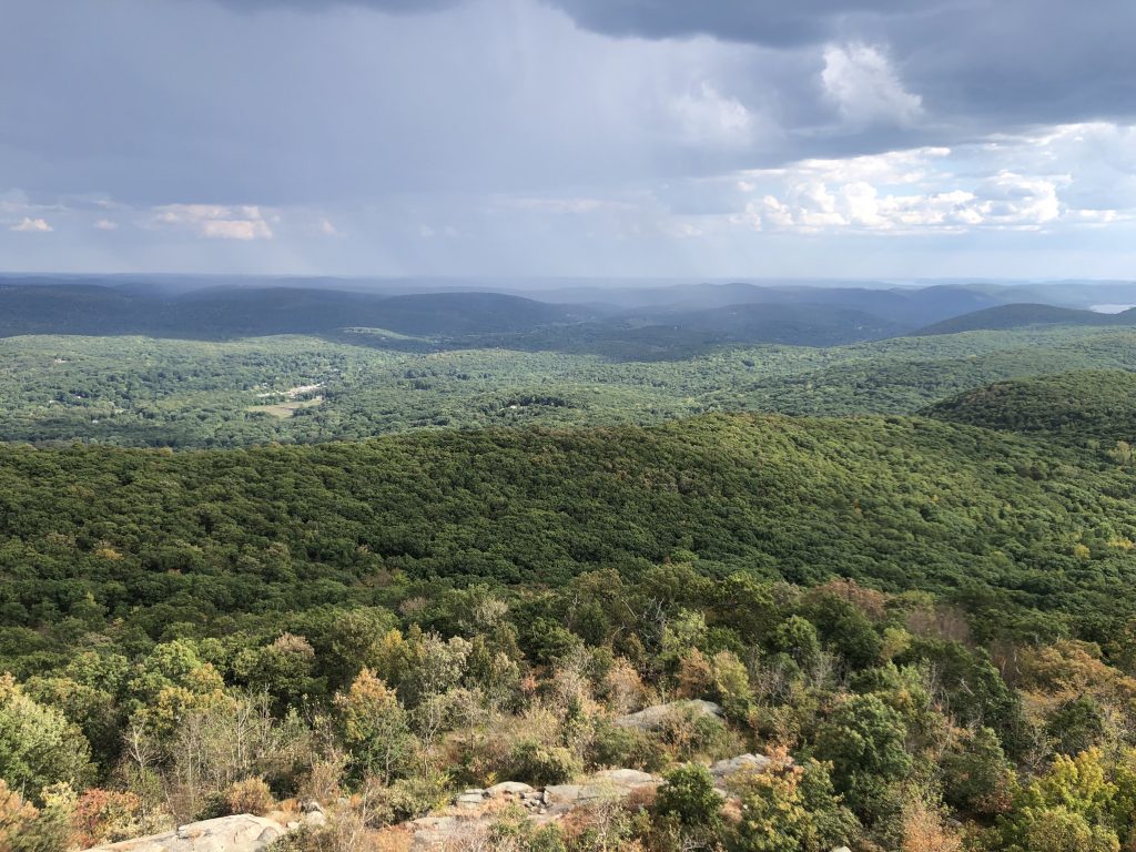
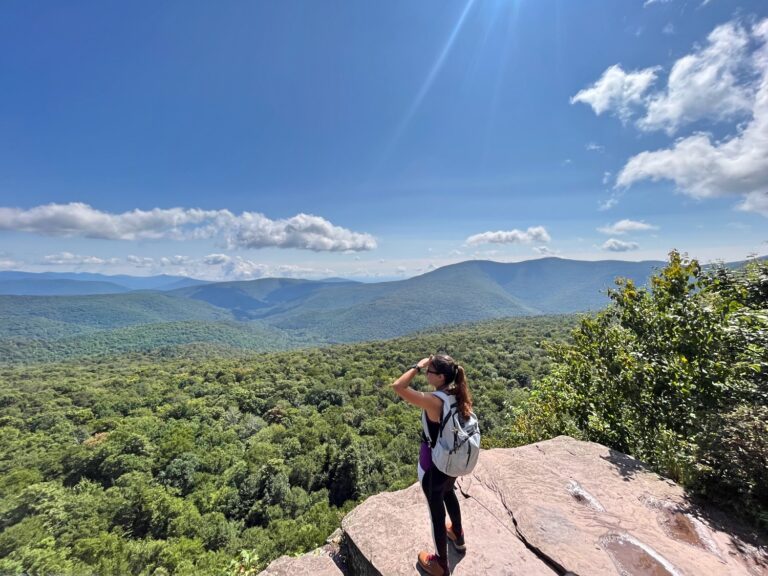
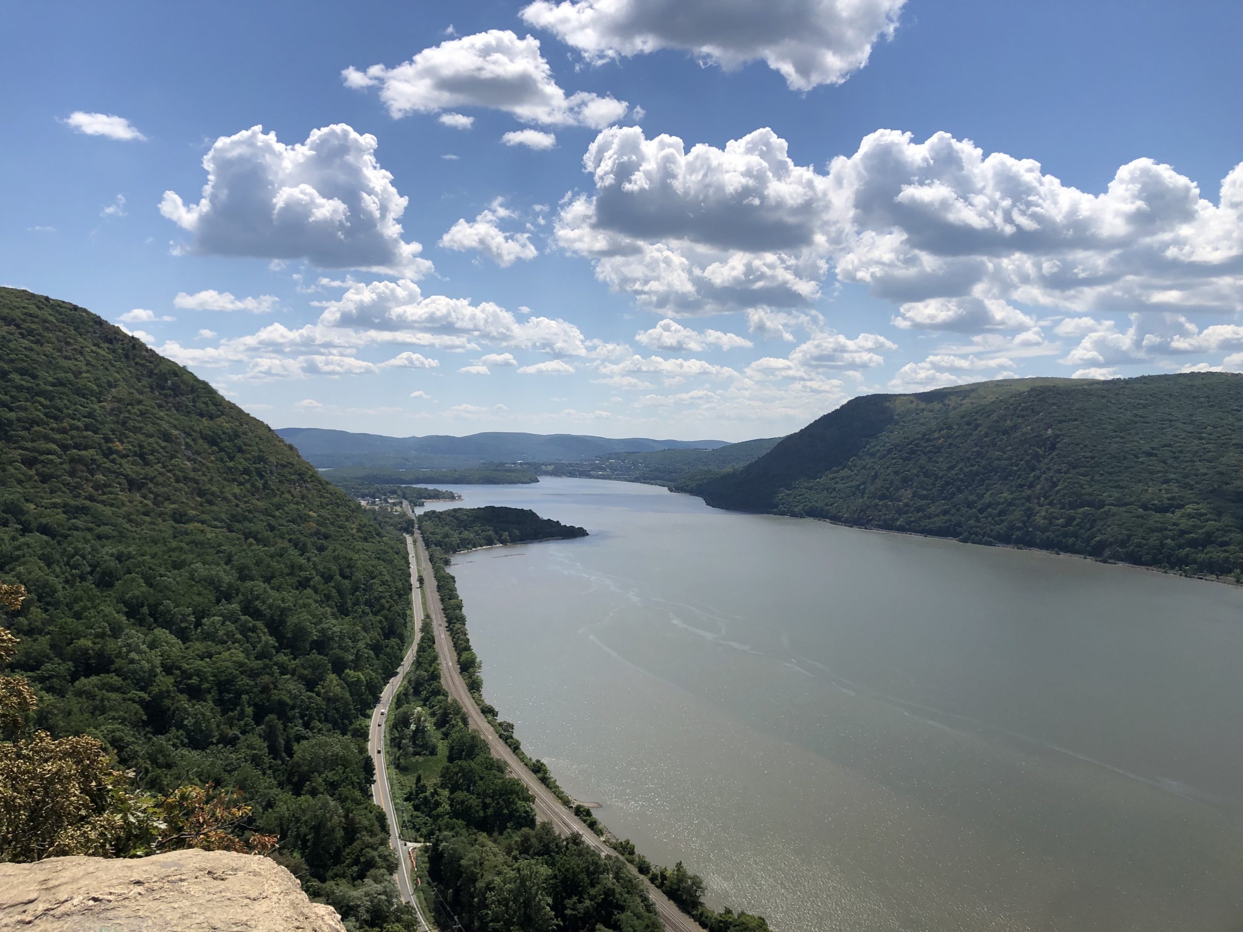
We started our hiking journey at 12:15 in the afternoon. Around 4:30 PM we were at the Beacon Fire Tower. This time we took the longer way around and then circled down the shorter route. The views from the tower are magnificent but very windy. After the tower we had two choices, go back the way we came, follow the AllTrail map route or try another route. We first started to head back the way we came, saw the giant hill, and turned back around. Should I mention that at this point we were seven miles in and had no water left?
To Go Back or Forward?
In the end we took the .4 miles down the trail and jumped on the Walkinson-Memorial Trail for the next .6 miles. This was a nice and easy trail that connects back to the Breakneck Ridge trail. We took the connecting 1.4 miles towards Sugarloaf Mountain instead. While on the app it looked like there were a whole bunch of trails, we followed the main trail back to our car. We saved ourselves street walking and did 10.5 miles (according to my watch). Nihad’s said 11 miles, of course.
Overall, this was a beautiful hike to Beacon Fire Tower via Breakneck Ridge. The first mile or so was the hardest with uphills and scrambling. The remainder of the trail was decent with some more rock scrambling in between. I would not follow the AllTrails app for this trail, unless you have two cars, one parked at your starting and end point. Street walking on 9D is busy and daunting. The total miles say it’s 7.9 but the street walking is not included. If you want a faster route to the Beacon Fire Tower, I recommend that you go to North Beacon Mountain side parking and start from there. Follow the Casino Trail and you’ll be there in no time.
According to my Strava App, it took us 4 hours and 15 minutes to do the 10.6 mile hike (the rest were breaks) with 3,135 ft of elevation gains. AllTrails elevation gains for the 7.9 miles is 2,345.8ft. Who’s right, who’s wrong, who cared, you got this!