Black Mountain and Owl Lake Loop
Who knew Harriman State Park had many different trails like the Black Mountain and Owl Lake Loop? I sure did not, but now I’m intrigued. I guess it’s a good thing that we let someone else pick the trail and teach these old dogs some new tricks.
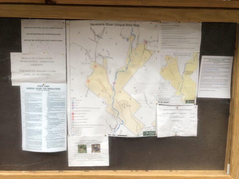
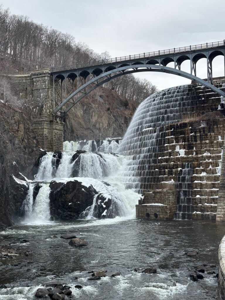
Harriman State Park has over forty marked trails and over fifty unmarked ones. So, if you’re in the middle of the trail and see another path without any marks, it could be a deer path or an actual trail. You might see the other trails if you have the AllTrails app and downloaded the map beforehand. You should know that the Long Path and Appalachian Trail go through Harriman.
Our morning at the park started a bit rocky. Google Maps decided to act whacky and took us to the Long Path section eight. This made us a little late to the park, but it all worked out. Once we got our stuff, we started the walk with our new hiking buddy for the day, Karen.
Black Mountain Trail and Views
The Black Mountain and Owl Lake loop starts around Silver Mine Lake and goes into the woods. You’re hiking in the woods and seeing the water to your left. We followed the yellow Menomine trail markings most of the way into the woods. The trail started on a narrow path, and within a mile in, you’re going uphill. This hill tested my lungs and stamina, but I’m glad to say we all did well. No one collapsed due to difficulty or heat exhaustion.
The Menomine trail eventually intersects with Red Cross Trail, which you will need to take. This is where my AllTrails app came in handy. I could see where we were, which trail we were on, and which direction we needed to go in. With so many different trails and paths, you must look at the map often. The trail then veers off again, going on the Owl Lake Road. We were not on this trail long before it split, and we had to follow the 1779 Trail. Half a mile in, we came to yet another intersection where we had to take the Appalachian trail.
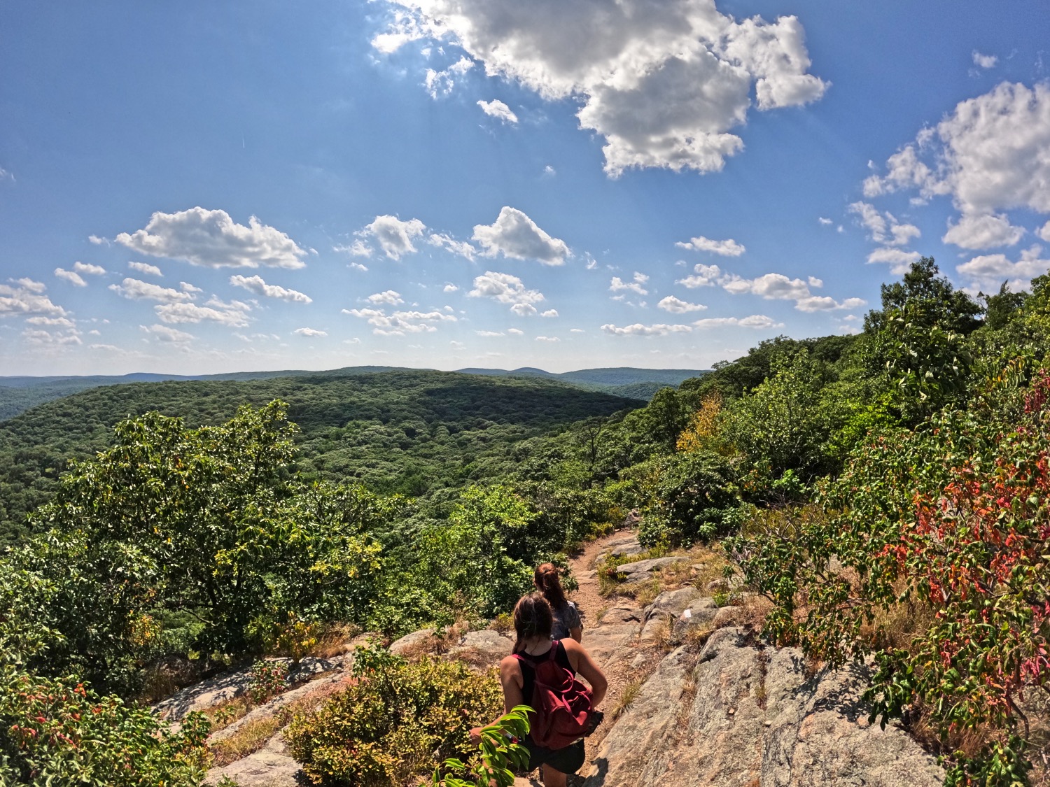
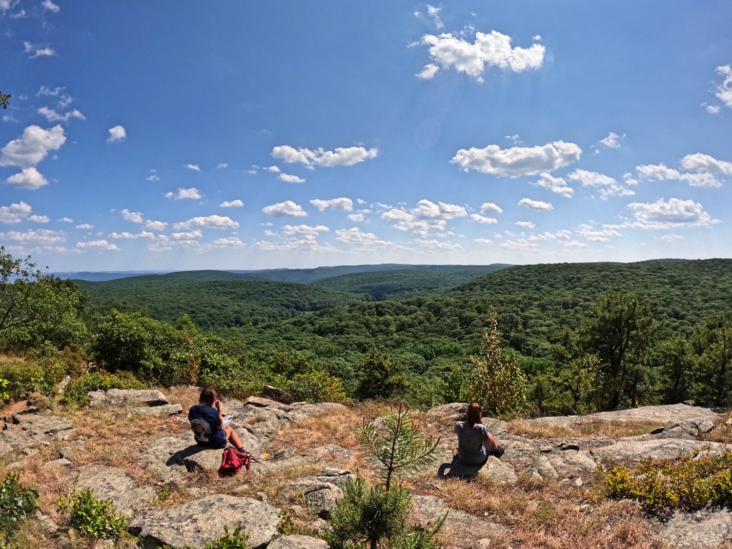
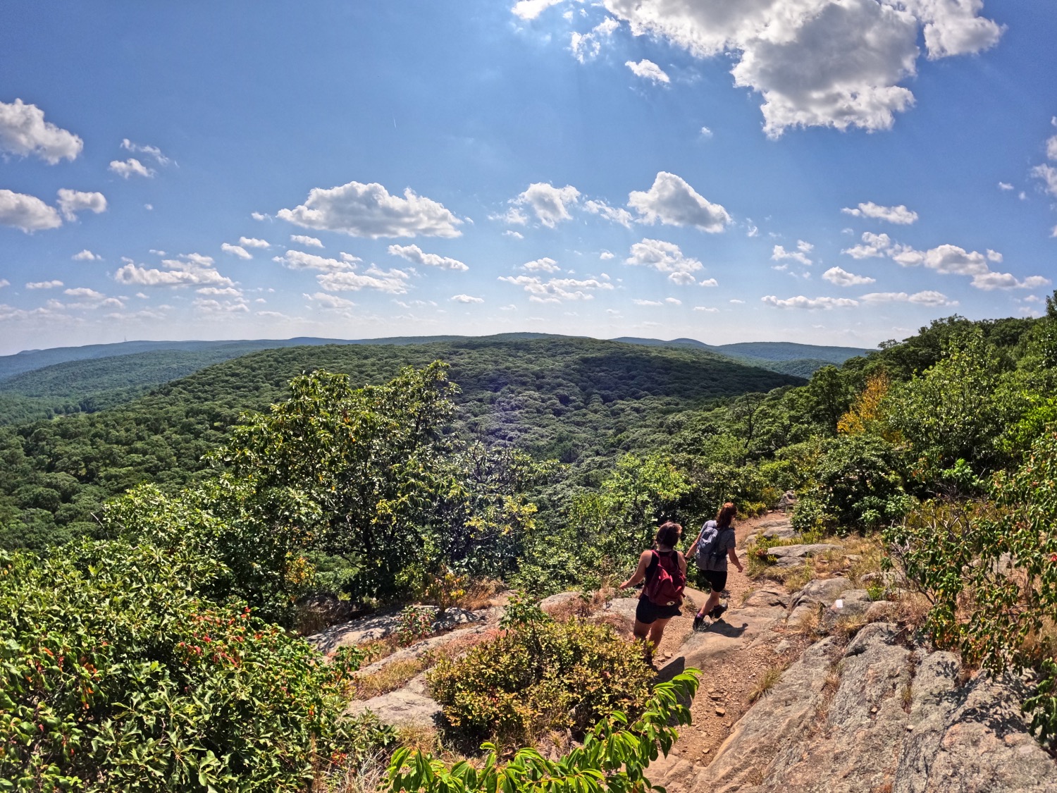
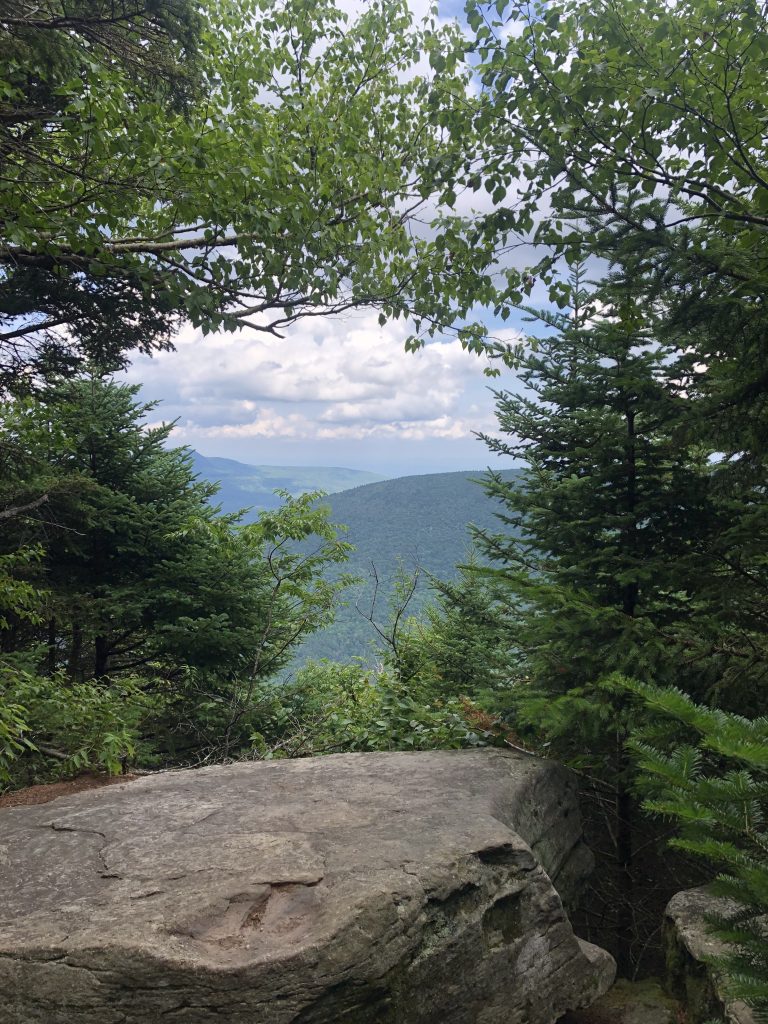
We followed the AT to Black Mountain. Before you get to the peak, the views open up. We took a nice break here and enjoyed the greenery. As we continued to stare into the beauty before us, we noticed the NYC outline in the far back. It looked like a magical, hidden city. After our lovely break with some good snack, we continued. The trail goes down after the peak, and you’re back on the AT/Rampo-Dunderberg trail.
Shortcut to Black Mountain
Instead of following the trail markings back we took the .7 miles on the unmarked Silvermine Road. This trail was nice and open and looked like an old mine road, as the name suggests. This trail takes you around the beautiful lake, on the other side of it. You end up at the parking lot entrance, where hopefully more water is waiting for you. We drank our extra waters beforehand and had nothing. Thank goodness for gas stations and Tina’s Pizza.
Overall, Black Mountain and Owl Lake loop was a great hike. We took a lot of breaks and our time. The trail went from narrow to wide carriage road, to thicker, bushy paths and back to open roads. We stepped in and out of different sceneries in those short seven miles. The views at the peak of the mountain are not as good as they were before the peak. If you take the shortcut to the Black mountain by following the trail at the parking lot, I suggest you walk further down a bit to see the better, more open views.
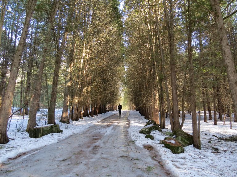
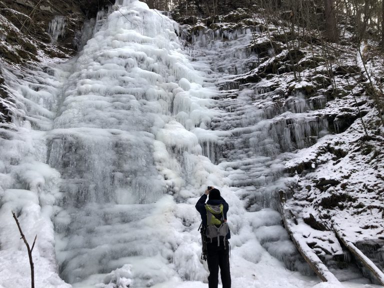
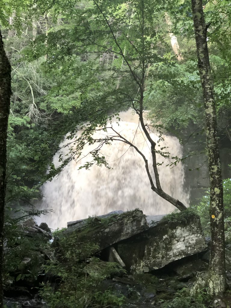
Black Mountain Trail Loop Photo Gallery
This was our first time exploring the Black Mountain and Owl Lake Loop at Harriman State Park. Harriman park offers over 200 miles of marked trails and 31 lakes. You also have over 100 miles of unmarked trails. Almost nineteen miles of the Appalachian Trail goes through Harriman Park.
Whether you’re looking for an easy hike or a challenging one, with views or without, Harriman has something for everyone!


Some really great photos
Some really great photos. This really looks like a great place to go, always try and find trails close to home.
Great photos! What a beautiful place.
This looks like a very beautiful & relaxing place to visit. Thank you for sharing this.
Great photos
It looks like a great place to visit.
I look at these photos and think, “I could hike most of the flat parts with my crutches”, THEN I think, “bears”.
Imma look at some more pretty pictures.
So pretty!!
amazing places to visit 🙂
This really does look like a magical, hidden city! Beautiful!
This looks like it would be a beautiful place to hike and take lots of pictures.
Beautiful pictures, esp up top with the clear sky. Sounds like a cool place to visit, esp if there are different trails for different skill levels.