Hiking Bonticou Crag & Table Rocks
The first hike we decided to do at Mohonk Preserve was Bonticou Crag & Table Rocks loop. First off, we snatched a free pass for the park, which is valid until April 30, 2026. Since we only have a little more than a month to use it, we want to complete as many miles as we can. The Mohonk Mountain House consists of 90 miles of trail and additional 70 miles of carriage road and trails. We shall enjoy our time exploring new trails in our Shawangunks for the next month.
Rock Scrambling Bonticou Crag
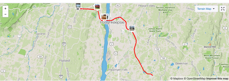
Anyway, the first hike the AI decided we should do consisted of rock scrambling. I was not told what hike we were doing, just drove there and waited to be amazed. Once we parked the car (first ones there at 10am) we crossed the road and started walking up the hill to the left. Once we got to the intersection we made a right turn and the rest is a blur. You should defenetly have your map downloaded so you can make sure you’re going on the right path. After many twists and turns, going from an open field to the woods, we were standing in front of a mountain of rocks. This was mile one.
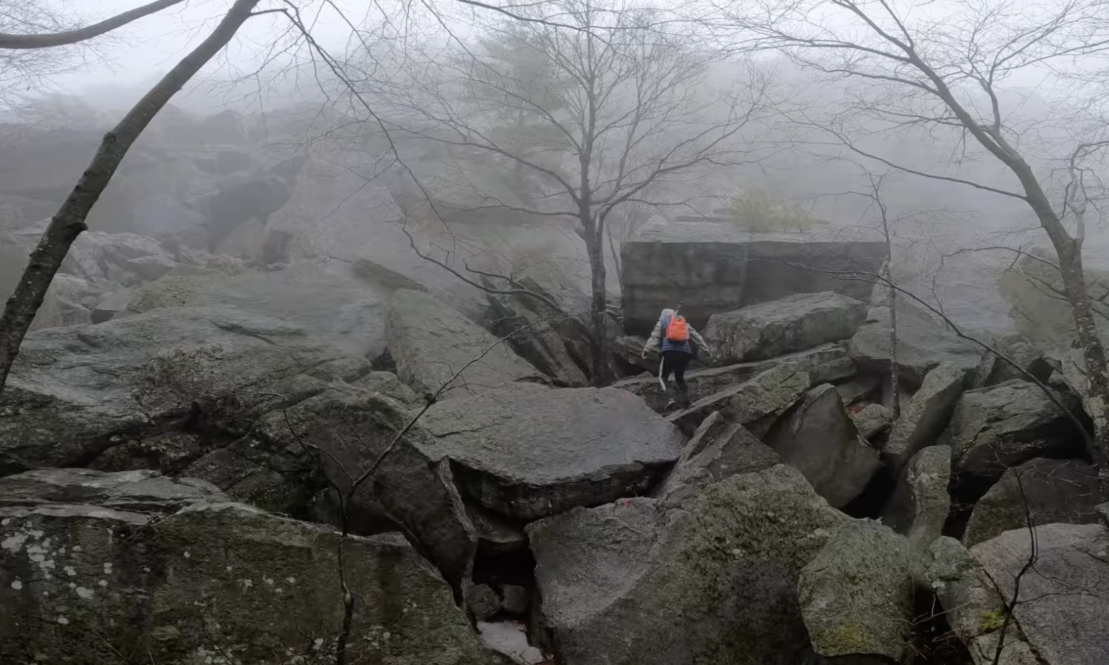
Since it was a foggy day with some rain, we could not see the top of this grand pile of rocks. Well, let’s just say it kept going. While the rock scramble was not too bad, if you’re on the shorter side, it’s nice to have someone that’s taller and can give you a little push. Towards the end of the scramble it got a little more challenging. There was a section that has a crevice and made it a little more difficult to get to the top. Once we finally made it, we couldn’t enjoy the view. There was fog all around us and we saw nothing. Nada! Zilch! But being encompassed by the fog is still magical and I felt like we were shadows in a Bob Ross painting.
Please note that if you become overwhelmed by the sheer magnitude of the rock formation, you can just walk around it. Yes, folks, you can take your own magical path and still get to the top. We had the rocks to ourselves and took our time, or at least it felt like climbing the structure took the longest.
From Rock Scramble to Table Rocks
After scrambling the rocks, the rest of the hike was a blur. Okay, it wasn’t a total blur. I remember going down the trail, into the woods. The rest of the hike was very easy and peaceful. At this point we still didn’t see anyone else on the trail. Anyway, I believe we were three miles in when we made a left turn at the intersection. Then we looked at our map and realized we would miss Table Rocks and the view, so we headed back to the intersection. At the intersection we went left and off into another magical section with huge rocks. The formation made me think of our gunks at Rossa Gap.
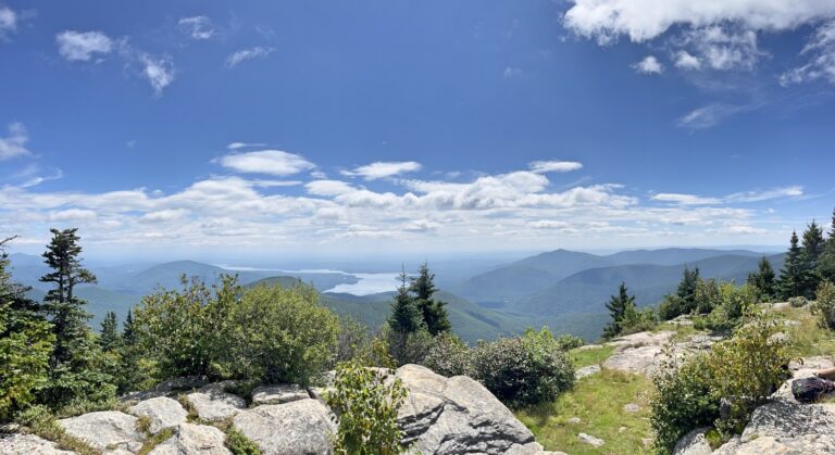
By the time we got to the view (only .4 miles) the fog cleared up a bit. We were able to see a view and plenty of lucky houses that got to stare back up at us. After taking it all in, we continued back on the trail and back into the woods. As we were heading back to the car, it started to snow. It was snowing with rain earlier but then giant snowflakes started falling all around us. In a matter of minutes, the evergreens were looking white and the bare tree branches were ice crystals, once again.
Before I knew it, we were back on the field, going through puddles of rainwater. And in just a few short minutes, we were walking down the hill to our car. This time our car was not by itself, it had plenty of company. Even though it was a Monday, cold, raining and foggy, determined hikers were outside enjoying the park trails.
Things to note:
- Entry is $15/per person or $70/year pass
- Download your map beforehand
- Restroom/WC in the parking lot
- GoPro batteries died so the ending of the hike was not shown